Overview:
Geo-referencing is the assignment of 3D geospatial coordinates to the pixels of the image, used to improve comprehension of the 3D relationships between the aircraft and points on the earth. When using video, this process can produce errors, due to terrain elevation and parallax from buildings and trees, and loss of connection to GPS, amongst other reasons.
Our client is seeking a software solution that can process input of:
- Metadata-tagged video.
- Digital elevation model (DEM).
- Ground control points.
- Relative registration (triangulation).
And output:
- Real-time sequence of geo-referenced video frames.
Constraints:
The solution must:
- Use video input
- Geo-reference for longitudinal and latitudinal coordinates (specific objects not required).
- Geo-reference in real-time.
The solution should:
- Be compatible with a range of cameras/sensors.
Possible Solution Areas:
- Video Geo-referencing
- High-speed image Geo-referencing
- Video Geo-registration
- Dead Reckoning
Desired outcome of the solution:
Technologies and/or partners with solutions that are at a prototype level or higher are of interest.
Related Tech Needs:
- Seeking: Applied R & D of AI and Machine Learning Technologies
- Offering: Aerial Imaging in Agriculture
- Seeking: Novel Augmented Reality Optics Technology
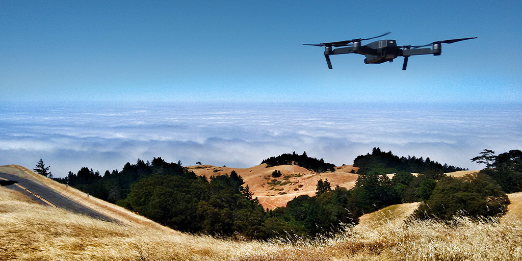
Photo by Ian Usher on Unsplash
