Overview:
The U.S. Bureau of Reclamation is seeking technologies and solutions for detecting subsurface cracks in earthen embankment dams. The ideal solution will be able to survey large areas to identify cracks or areas suspected of cracks, and/or provide a detailed and high-resolution map of an identified crack.
Background:
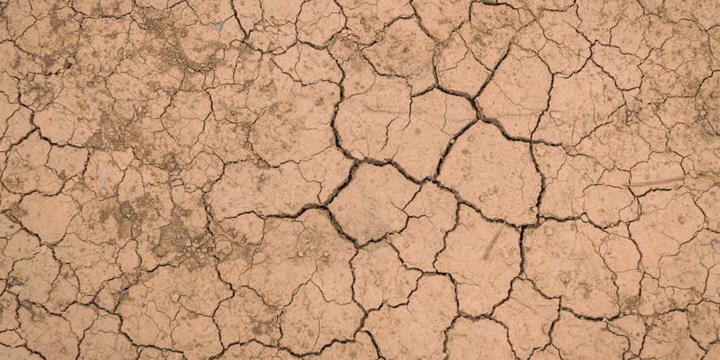
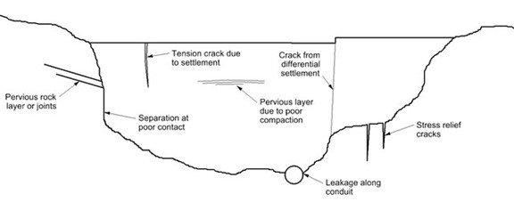
Reclamation has numerous earthen embankment dams across the country. Differential settlement along the profile of the earthen embankment dam causes concerns with transverse cracking through the embankment. As these transverse cracks threaten the structural integrity of the dam, it is vital to detect and fully map these cracks. Additionally, cracks are difficult to observe through visual inspection alone, as they are often obscured by vegetation or infilling.

Settlement Cracks and Locations of Potential Leaks in Embankment Dams
USBR and USACE. (2015). Best Practices in Risk Assessment for Dams and Levees, 2015 ed., Denver, CO
Requirements:
- Able to detect transverse and longitudinal cracks in clayey and silty soils
- Able to detect a 1-mm-wide crack at a depth of 3+ feet
- Solutions should work in wet and dry soils
- The ideal solution should be able to do one or both of the following scenarios:
- Survey large areas to identify cracks or areas suspected of cracks
- Provide a detailed and high-resolution map of an identified subsurface crack
Possible Solution Areas:
- Novel non-destructive testing techniques
- Fiber optic sensing
- Continuous soil monitoring
- Strain sensors
- Ground penetrating radar (GPR)
- Electromagnetic conductivity
- Time-lapse electrical resistivity tomography (ERT)
- Collinear seismic p- and s-wave refraction
- Seismic surface-wave surveys
- Advanced data processing
Field of use and intended applications:
Identifying and mapping cracks in embankment dams, often in remote locations.
Previously attempted solutions:
- Ground penetrating radar (GPR)
- Electromagnetic conductivity
- Time-lapse electrical resistivity tomography (ERT)
- Collinear seismic p- and s-wave refraction
- Seismic surface-wave surveys
Related TechNeeds:
Seeking: Automated crack mapping solutions
Seeking: 3D surface mapping technologies
Seeking: Underground utility surveying technologies
Image by jannoon028 on Freepik
